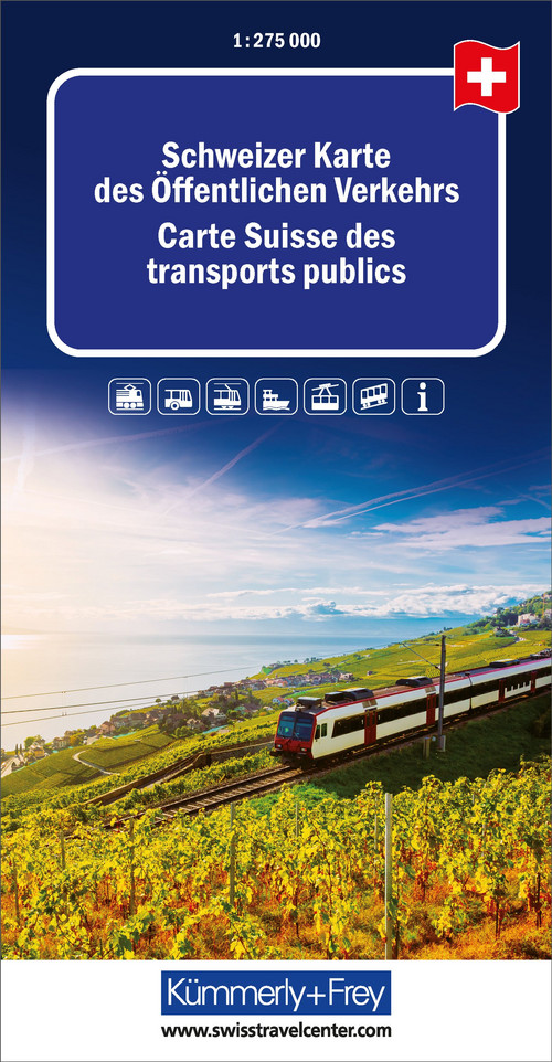
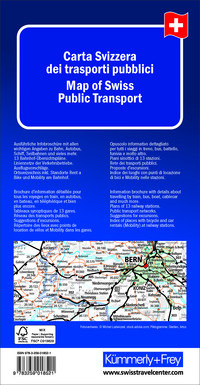
In the Kümmerly+Frey public transport map at a scale of 1:275 000, the entire Swiss railway network is depicted in detail.
From Bern, Zurich, Basel, Lugano, Geneva, Lausanne, Biel, Locarno, Sion, Zermatt, Gstaad to Laax, all areas and cities with their train, bus, boat, and cable car routes are represented.
Thanks to the clearly marked, up-to-date, and easy-to-read train routes, the neat map design, and the clear terrain representation, this map is the perfect tool to get an overview of Switzerland's public transport network. In addition to the public transport routes, 13 station overview maps are integrated into the information brochure and can be useful for planning your next trip.
The integrated transport networks, locations of Rent a Bike and Mobility stations at railway stations, excursion suggestions, and the practical place index also help you get a better understanding of the country. Additionally, the rail map includes information on mountain peaks, lakes, glaciers, rivers, cities, etc.
The foldable map for travelers, planners, or train enthusiasts is made with a sturdy cover and robust paper. Even after multiple uses, it won’t let you down.

Free shipping in Switzerland*
20% discount for 3 items
* Except for bulky good deliveries (posters)
Digital maps
PLAN, DISCOVER, EXPERIENCE - on the web and mobile!
Download our HKF Outdoor App!
Navigator
More than 1000 Web-Sites in 47 countries! Listing of important European Web-Sites supporting your planning and booking of journeys.


